Skip to content
 The traditional tools for navigation
It should come as no surprise that technology is making inroads
into every facet of daily life. So too with field maps.
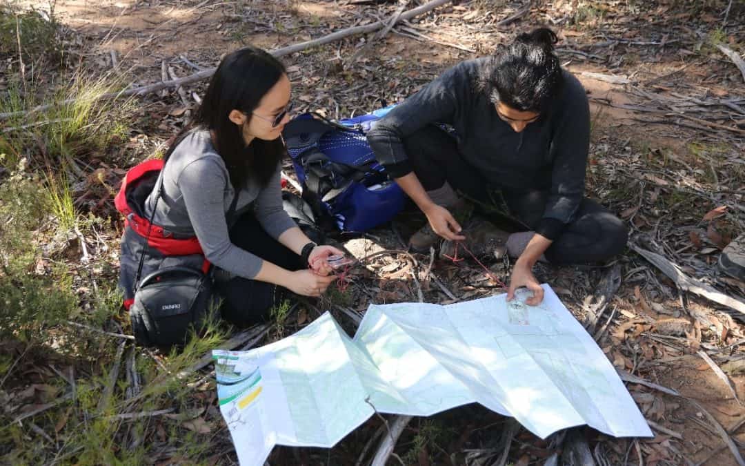
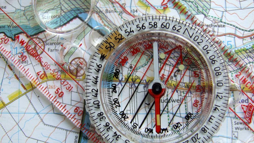
Serious bush walkers have always learnt how to use a compass
and read a contour map that enabled them to plot their location,
their progress and the path ahead at any given point.
 Are we there yet?
Those skills are still relevant today but a new phone application has
made working out where you are on your walk just that much easier.
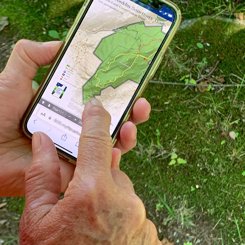
The Avenza app uses your phone’s built in GPS to locate you on the trail.
It works on satellite technology rather than mobile phone reception.
In other words, once you’ve downloaded a particular map on your phone
at home you can access it at any time during your walk regardless of
phone signal strength. This is a key feature as the rugged terrain in
Deep Creek often means no or patchy phone reception.
 The Avenza app in action
A free Avenza app is available for Deep Creek Conservation Park
and is one well worth downloading for visitors to this beautiful part of the world.
For more information follow the link here